One of CARS missions is to equip groups and invididuals to broaden their knowledge of Geographic Information System (GIS) and remote sensing. CARS not only supports the Department of Geography in offering such courses, but also have hosted and participated in many events to introduce geospatial techonogies to greater audience including elementary and high school students, industries and government agencies. For custormers who are interested in spefic training, we provide customized workshops for research, businesses and industries.
List of GIS and remote sensing courses offered in the Department of Geography:
GEOG 2344 Digital Tools for Environmental Exploration
GEOG 4203 Fundamentals of GIS
GEOG 4263 Geospatial Applications for Unmanned Aerial Systems
GEOG 4003 Application of GPS in Field Research
GEOG 4313 Field Techniques and Geodata Collection
GEOG 4323 Computer Cartography
GEOG 4333 Remote Sensing
GEOG 4343 GIS: Resource Management Application
GEOG 4353 GIS: Socioeconomic Appplications
GEOG 4383 GIS Programming
GEOG 5263 Geospatial Applications for Unmanned Aerial Systems
GEOG 5323 GIS: Resource Management Applications
GEOG 5333 Remote Sensing
GEOG 5343 Advanced GIS: Resource Management Applications
GEOG 5353 Advanced GIS: Socioeconomic Applications
GEOG 6313 Advanced Geodata Collection
GEOG 6333 Advanced Remote Sensing
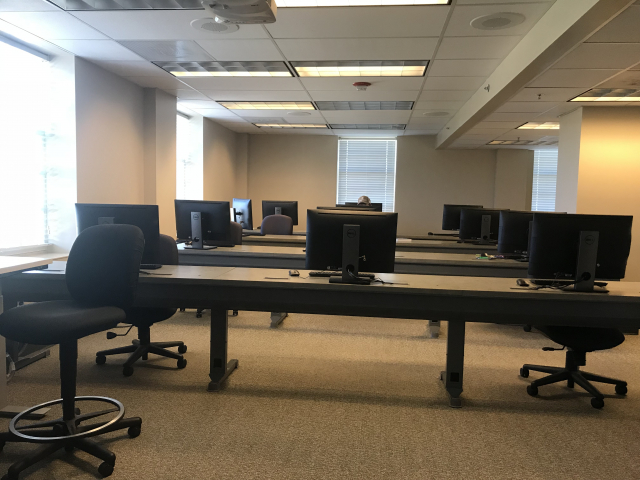
3 computer labs in the Department of Geographer are available for classes, training and research
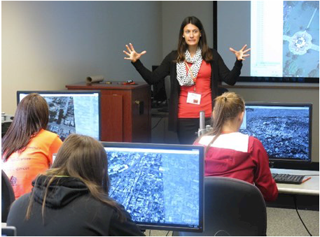
National Lab Day: Students learning how online mapping tools and geospatial analyses are used by rescue and recovery operations in the aftermath of natural disasters.
National Lab Day is a national effort to remedy deficiciencies in the teaching and accessibility of STEM disciplines by creating engaging and developmentlly appropriate laboratory exercises for middle and high school students.
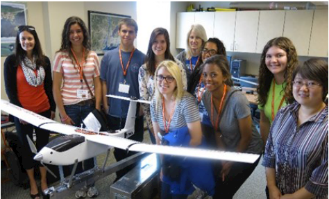
Students toured CARS with our department Unmanned Aerial Vehicle (UAV) on display
